Bringing forests back to life is a challenging journey that calls for both dedication and organization. While the work itself takes place in nature, digital tools are just as essential. They bring clarity to tasks, make progress visible, offer simple ways to contribute, and keep people engaged and motivated throughout the process.
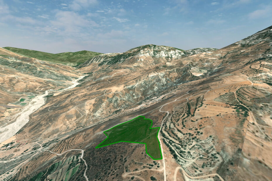
That’s why we supported the development of Reforest Network — a comprehensive digital solution for reforestation organizations. We work closely with the tech team to ensure the app is as useful as possible and tailored to our needs. For now, it’s only a demo version, but the map already displays our Null Forest project in Kelokedara, where we plan to launch a variety of initiatives.